
AI Collaboratives
No single organization can solve today's biggest challenges alone. AI Collaboratives unite international organizations, nonprofits, researchers, funders, and Google's technical expertise to accelerate AI solutions that address society's most urgent issues. By leveraging co-funding, open-source solutions, and meaningful connection points between organizations solving similar challenges, we can shorten the timeline between scientific breakthroughs and real-world practice.
Focus areas
-
Detecting fires from space
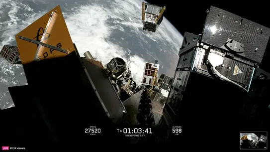
FireSat is a global initiative led by the nonprofit Earth Fire Alliance (EFA) to create an unprecedented wildfire dataset. Leading experts in space technology, wildfire science, and AI, including Muon Space and Google Research, collaborated to develop a purpose-built constellation designed to provide the frequent coverage fire agencies need to detect wildfires before they spread. The underlying sensor technology is designed to detect early-stage wildfires as small as a one car garage and has already spotted small, low-intensity blazes invisible to existing satellites. (Photo: SpaceX)
-
Providing life-saving public intelligence
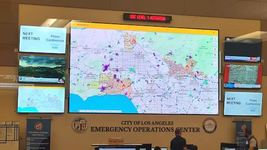
During active wildfire events, critical information is often fragmented across agencies and platforms, making it difficult for residents and responders to access the timely, verified updates needed for safe evacuations. Watch Duty delivers real-time wildfire alerts and on-the-ground intelligence from first responders, such as how fast a fire is moving, which direction, when it crosses containment lines, giving millions of people the information they need to act.
-
Open collaborations on wildfire intelligence
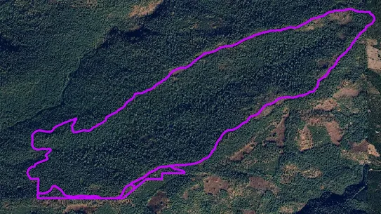
Earth observation data remains difficult to access and lacks the standardized pipelines required for real-time AI modeling and deployment. UC San Diego’s Wildfire Commons is a community platform that breaks down the barriers that currently exist between wildfire-related data, models, and tools.
Our collaborators






-
Get further ahead of hunger crises
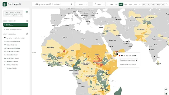
A working group led by CGIAR, Food and Agriculture Organization of the United Nations, NASA Harvest, World Food Programme, and the World Bank is developing an early warning system that uses diverse data signals to detect early signs of food insecurity. By integrating signals such as satellite imagery, market prices, climate and news data into a forecasting model, the pilot aims to improve the granularity and accuracy of food insecurity predictions and give governments and humanitarian organizations more lead time to act before a crisis takes hold.
-
Breeding more resilient crops
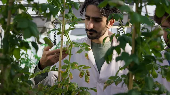
Plant diseases destroy up to a quarter of the world's crops each year, and climate change is making outbreaks worse. With support from Google.org, the Sainsbury Laboratory is using AlphaFold, the Nobel Prize-winning AI system, to scan plant and pathogen DNA and predict which of a plant's natural defenses can stop a given disease. Work that once took years in the lab can now be screened in days, helping breeders develop disease-resistant crops before outbreaks have the chance to spread.
-
Providing AI tools for farmers
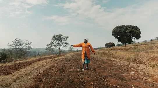
Weather forecasts are often far less reliable in low-income countries than in wealthy ones, leaving many of the world's 600 million smallholder farmers guessing when to plant or harvest. TomorrowNow localizes openly available forecast tools, like Google’s WeatherNext, for smallholder farmers in Sub-Saharan Africa. This delivers accurate and actionable weather information to help farmers make better agronomic decisions, reduce crop losses, and build climate resilience for millions.
Our collaborators











Applying AI to help solve society’s biggest challenges
-
Google Earth AI
Google Earth AI is a geospatial intelligence suite that unites geospatial models with Gemini’s reasoning across tools like AlphaEarth Foundations, WeatherNext, Open Buildings Dataset and Population Dynamics Foundation Model (PFDM).
-
AlphaFold
AlphaFold is an AI system developed by Google DeepMind that predicts a protein's 3D structure from its amino acid sequence to accelerate scientific discovery and transform our understanding of the biological world.
-
Agricultural Understanding models
Agricultural Understanding models translate high-resolution satellite imagery into actionable, field level intelligence at national scale. By pairing landscape segmentation, such as field boundaries, tree canopies, and water bodies, with in-season crop identification, the models deliver granular land-use insights to help power precision agriculture, regional policymaking and global food security.